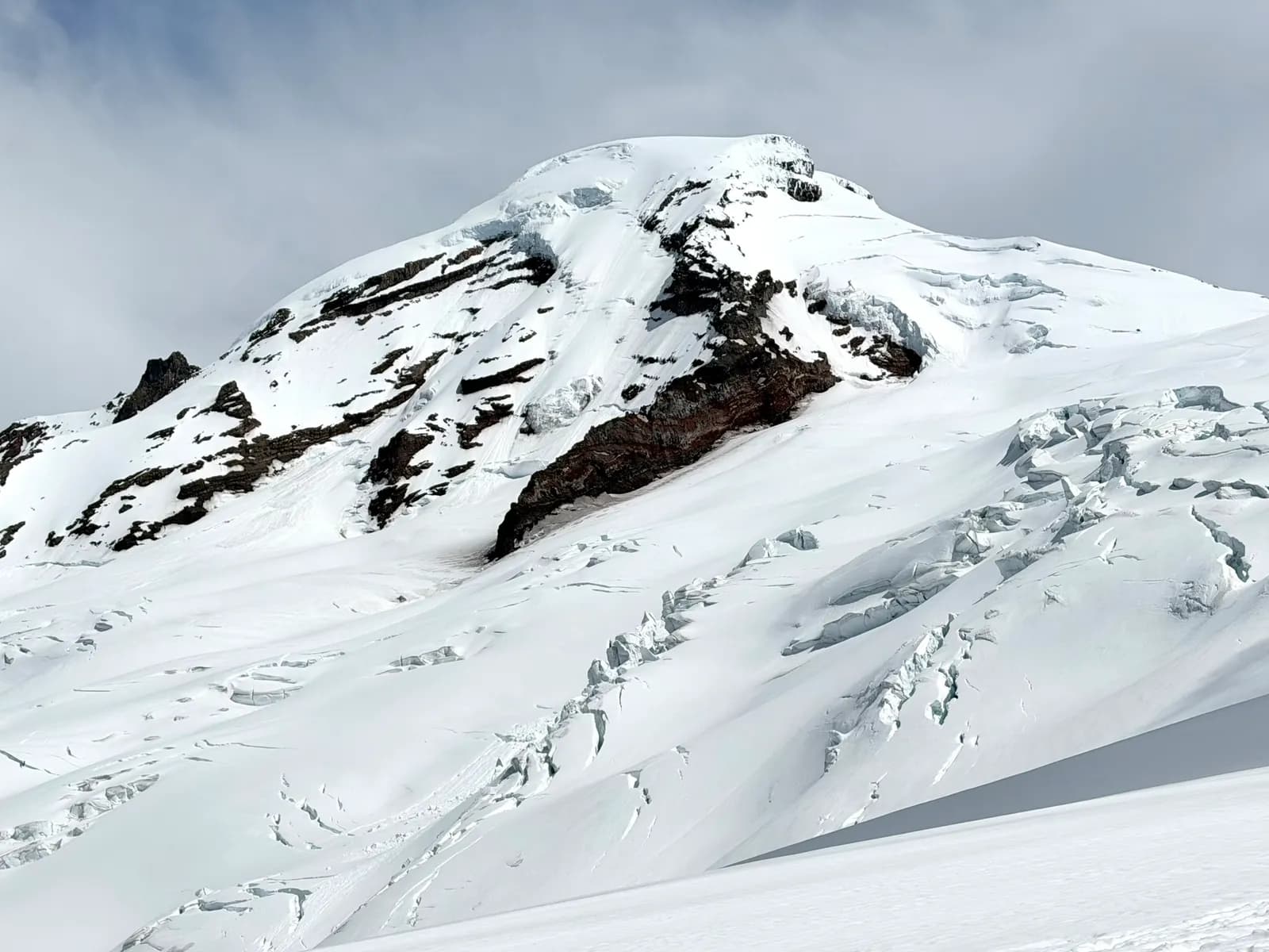
The original ascent line to the "north sentinel" of the Cascades Range
We started the first day by walking along the washed out forest road section leading to the Heliotrope Ridge trailhead. This part of the road washed out during the 2025 storm. It adds around 4.5 miles of road walk and 2000 ft of additional elevation gain. That really adds up when I'm hauling a 43 pound bag up to the high camp. The upside is that with the added distance, there are only a few souls on the route, and only 3 parties did the same route with us on summit day.
The good news is that the Heliotrope Ridge trail is in good condition and climbs steadily to the hogsback, and the whole section was dry. Somewhere around hogsback camp, we filled up at the last running water spot and put our mountaineering boots on. After another hour and a half of climbing, we finally reached our camping spot. There was some rain in the morning, but luckily it was mostly drizzle, so we were able to manage. The weather cleared by dinner time, and we had a great time eating our creative dinner together.
The added road walk made the first day 5200 ft of elevation gain and 8.76 miles.
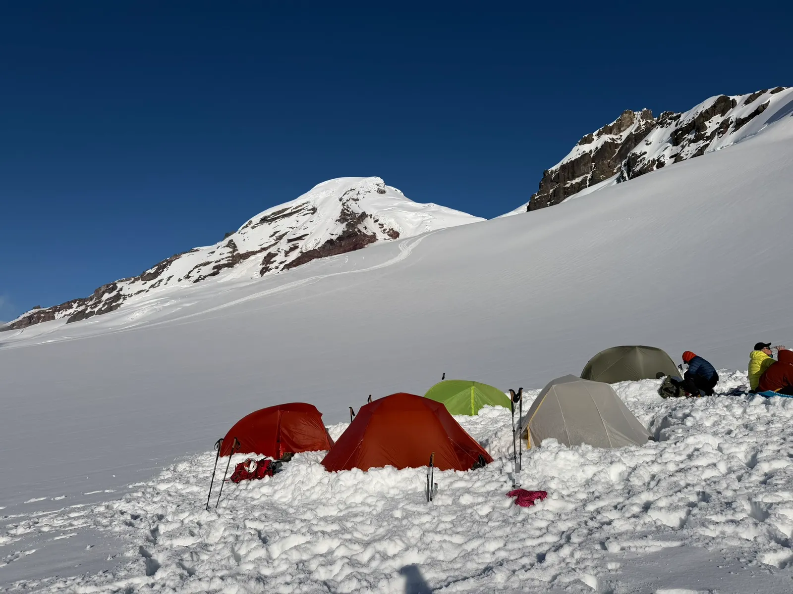
The forecast called for a very cold summit day, around 17F at 5 am on the summit. The cold temperature, moderate wind, and whiteout conditions through the night and early morning kept us cold and made it difficult to adjust our layers.
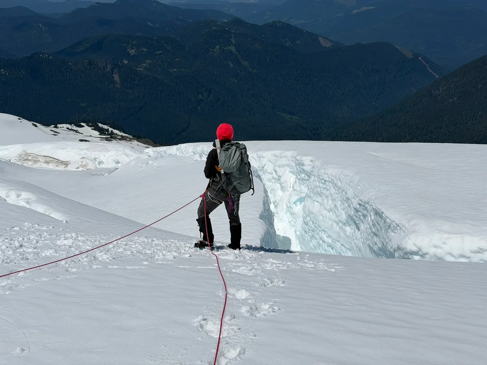
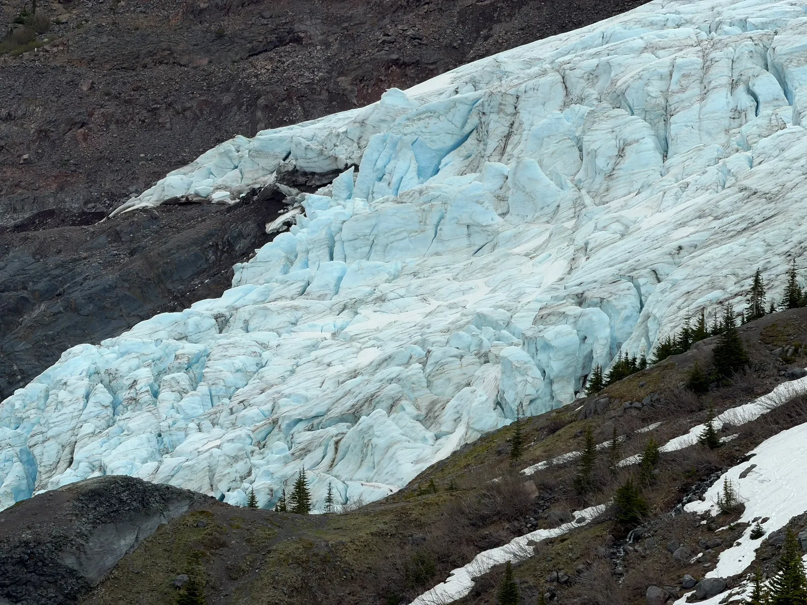
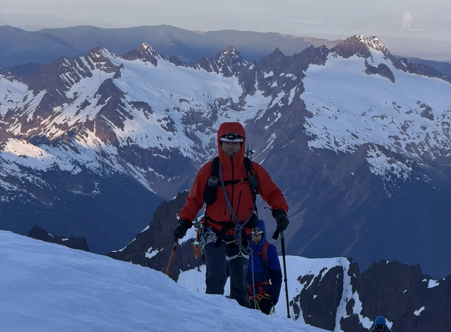
We set off from camp at 3 am. The lower section of the Coleman Glacier route was easy to navigate thanks to the previous boot path, although it was partially covered by the snow from the day before. We passed by the gigantic Colfax serac, and I was impressed by the sheer ice tower sitting above the rock, with icefall scattered around the base. It is such a cool glacier feature.
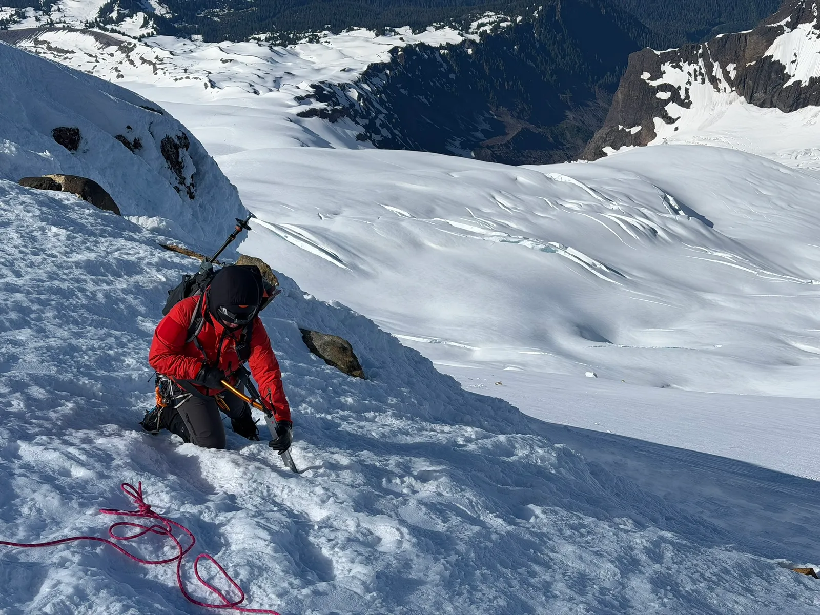
Soon we passed Colfax Peak and started up the ridge that leads to the Roman Wall. The low overnight temperature combined with the whiteout clouds and unsettling wind made the ascent challenging. I was leading in the front for the Roman Wall part. At the lower section I was able to kick some steps for our rope team. But up higher, it got increasingly difficult to zigzag and kick steps due to the very icy conditions. Finally, we decided to just go straight up the final section of the Roman Wall. There was also blue ice in some sections, and the new snow overnight didn't help. The new snow just added a layer of dust on the icy slope and made you think your crampon had bitten in when it hadn't. Still, we were able to ascend this section without too much trouble. In hindsight we should have unroped, since you aren't likely to arrest a fall there. A fall would probably drop whole team down into the crevassed Deming Glacier below. The cold and whiteout conditions also affected our judgement when we were on flat spots.
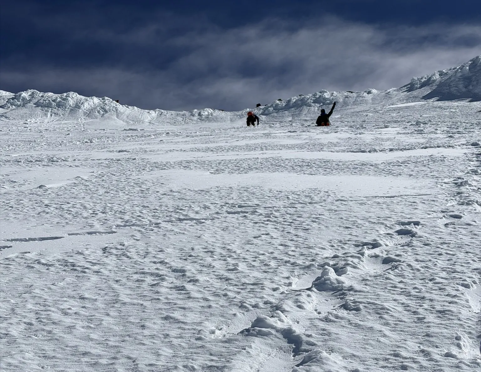
After the Roman Wall, it was an easy walk across the crater to the Mount Baker summit. Yes, summit! But the clear sky the weather model promised at 8 am hadn't arrived. It was still cold and windy. We minimized our time on the summit and started heading down.
Given how icy the Roman Wall was, we decided to set up a fixed line and do a protected down climb. We face-in down climbed the full 60 meter line. The upper part was messy with ice and new snow, but a little further down the conditions softened and got better. Rodrigo and Magda set up the fixed line and were the last to descend. According to them, it was so cold up there that Rodrigo's butt started to feel like it was freezing. That was the true crux of the trip.
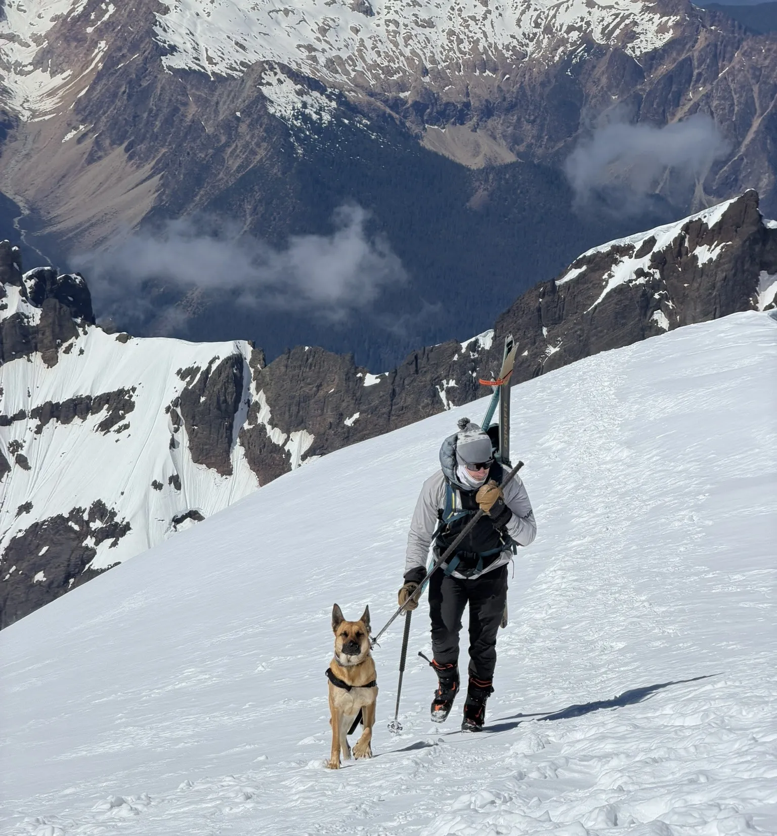
Coming down was uneventful. To my surprise, I ran into the skier with a dog who I had met the week before on Mount Adams. What are the odds? Two different mountains, a week apart, and there he was again. Turns out the mountains are a small world.
We ended our day at 14 hours 20 minutes, with 4000 ft of ascent and 9200 ft of descent. With the added road walk, no wonder we saw so few people out here.